|
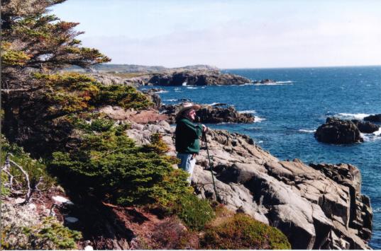
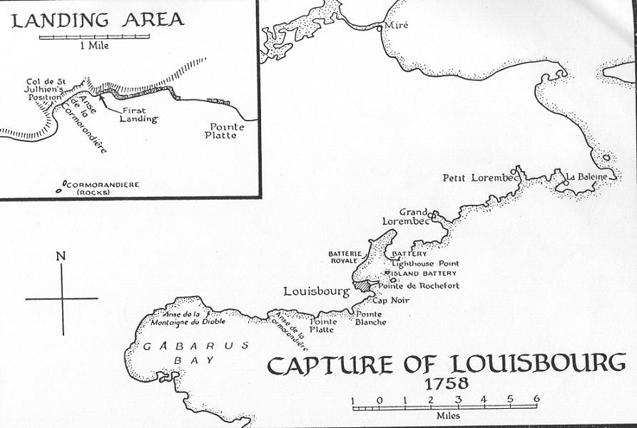
| East of the Light House Point (See map.) |
|
| Between Black and White Points (See map.) |

|
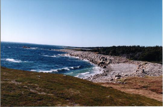
| The sandy beach at Kennington Cove, looking east. The shoulder of land we see is Cap Rouge. "Wolfe's Rock" is just beyond Cap Rouge and it marks the spot ("A") where the British gained their first foothold. They were then able to sweep up, inland, to the top of the rise, and then down on the backs of the French which had entrenched themselves and their cannon midway up the rise (the green patch in the picture; "F" on map), so, to face the beach. Once the French were cleared from their trenches, it seems plain, the bulk of the British force was able to make a relatively easy landing on this beach. |
[In Support of blupete's History Of Nova Scotia GO TO Introduction.]
April, 2000.
Peter Landry
peteblu@blupete.com
P.O. Box 1200,
Dartmouth, Nova Scotia.
CANADA.
B2Y 4B8